
What is a Neighbourhood Plan?
- Sets out policies for the development and use of land in the Parish
- Has to be consistent with national and strategic district policies
- Is commissioned and funded by the Parish Council, but is driven by a separate team
- Has to take account of the views of everyone both in the Parish and the surrounding areas
- Has to be agreed by the residents of the Parish through a referendum
- Has the same status as, and becomes part of, Dacorum’s Local Plan
- Could take up to three years to deliver.
Why do we need a Neighbourhood Plan?
- Change will happen – better to say what we want up front than to complain about someone else’s vision after the event
- The Parish will be significantly impacted by the Hemel Garden Communities development over the next 20+ years – we may not be able to control it, but we might be able to nudge it just a little.
- Gives us some measure of control over what happens in our Parish
- Increases the percentage of tax revenue spent in the parish from new developments
What area will a Neighbourhood Plan cover?
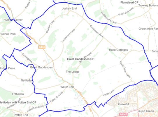
All of the parish of Great Gaddesden, covering Bridens Camp, Great Gaddesden, Jockey End, Potten End Hill, St Margaret’s and Water End
Current and projected housing numbers

As this seems to have caused some confusion, the numbers on the left are existing houses, and those on the right the projected numbers of new houses as stated in the draft Dacorum Local Plan (2020-2038).
AONB, Green Belt and Hemel Garden Communities

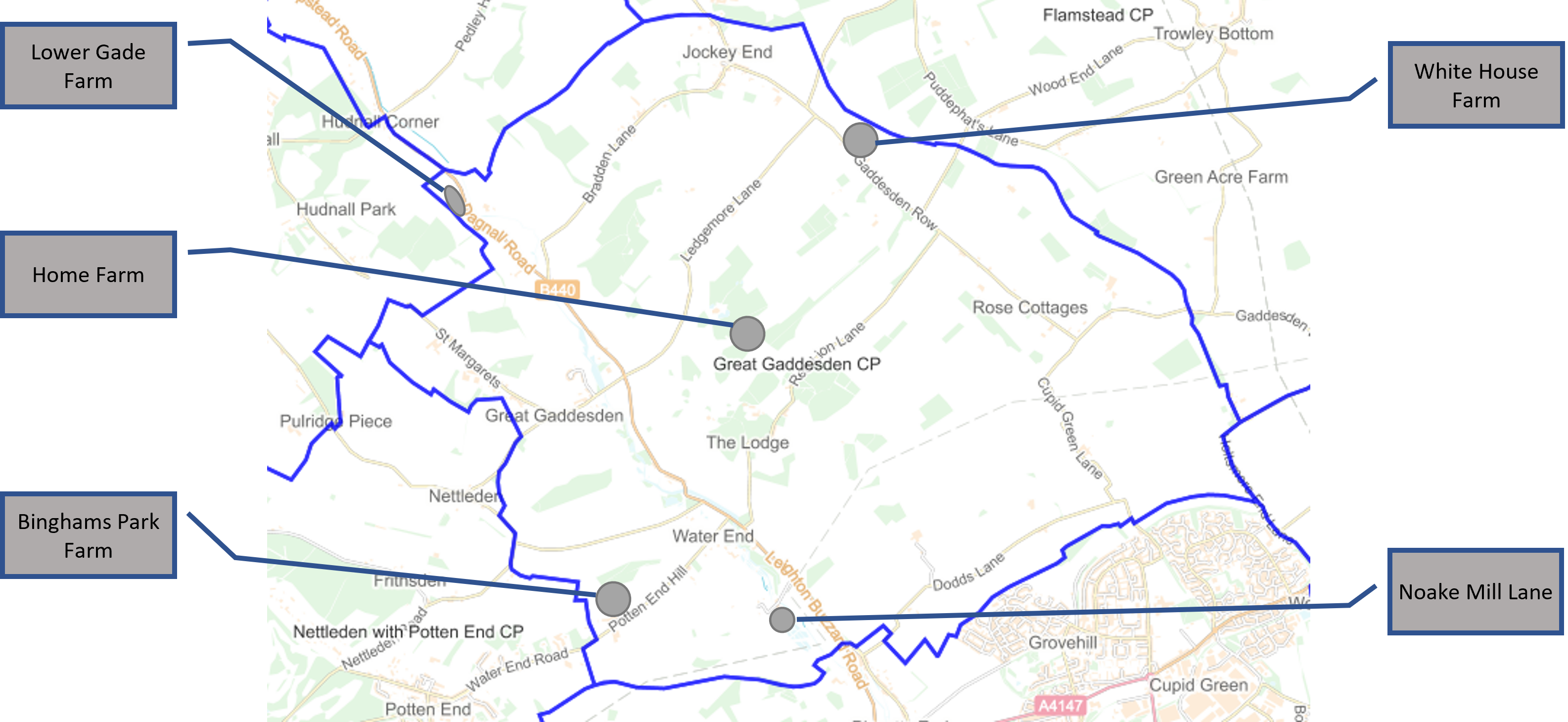
Current main employment clusters (exc agriculture).
Evidence Library
Key documents which will be used to support the Neighbourhood Plan are available in the Evidence Library.